I would say that I am not really a believer of a higher being however there are times when you just have to sit back and think “Is the universe trying to tell me something??”
And this photo was one of those times!!
To give some of my rural friends some situational awareness of the fires, I once again popped up to the top of one of their hills to capture the fires.
Shooting away for about 15 minutes light rain started to fall. I could feel the cool water on my face and all I could think of was “I hope this continues and hits the firefront”.
Turning around the most amazing rainbow appeared, and not only was it amazing cause of the clarity but it was a complete rainbow, and parts were a DOUBLE RAINBOW that seems to look like a shield protecting Canberra.
The left end of the started over the Canberra city just near Black Mountain and ended over the southern suburbs of Canberra, like Banks, Conder and Gordon.
I am not sure about you but for me looking at this, it gave me a sense of protection and with heavy rains forecast to fall across Australia, I think it was a sign from mother nature to say “I’ve got this and everything is going to OK!”

As the fires rage through the country we all look to the authorities to keep us up to date, informed and safe.
As mentioned in my previous post I have been volunteering as part of a fireteam helping to defend rural properties, this also means I have exclusive access to these rural properties that are currently under threat in the Southern areas of the ACT (Australian Capital Tettoriy).
Just like 99% of every Australian, I am by no means an expert on fire activity and movements, nor do I have any idea of how to really tackle such an enormous job of controlling, steering and eventually extinguishing these fires. What I do know I have the ability to use the equipment I have at hand to get visuals of the firefront and its movements as it crawls along with the mountain ranges like the snowline melting after the winter.
I have at my home a great view of the eastern side of the fires and a northerly view from the farms. Capturing, watching and reporting these fires out to people that are in their path has allowed me to keep these people informed so they can make the right decisions but the side effect of taking photos so they can see what the fire is doing, is that I do get to take some incredible photos and the ones sit at the top of the pile are the sunsets.
Here is just one of them.
In the photo below you can see to the left half has the fire in the hills while the right after is yet untouched.
As I look at this image I can see and feel the destruction the fire has had on the impacted areas. I look and wait knowing it will pass to the other side bringing with it a renewed pressure to bring this fire under control.
The other interesting this about this image is the cloud formations above the fire ground on the left of the image to the clouds in the yet untouched areas.
To me, it looks like the heat of the fires have pushed the clouds up where on the right the cloud cover is flat. I’m a sure someone much much smarter than I that can tell me if what I am seeing is actually what is happening here. 🙂
For the locals some more details in the photo:
From left to right, you can see the firefront moving as it snakes its way from the Tharwa village towards the Corin forest area and then onto Tidbinbilla. Mount Tennent is out of shot to the left, while the valley to the left of the hill in the middle is the Corin Road and the hills in the far right is the Tidbinbilla nature reserve and the Brindabella Ranges.

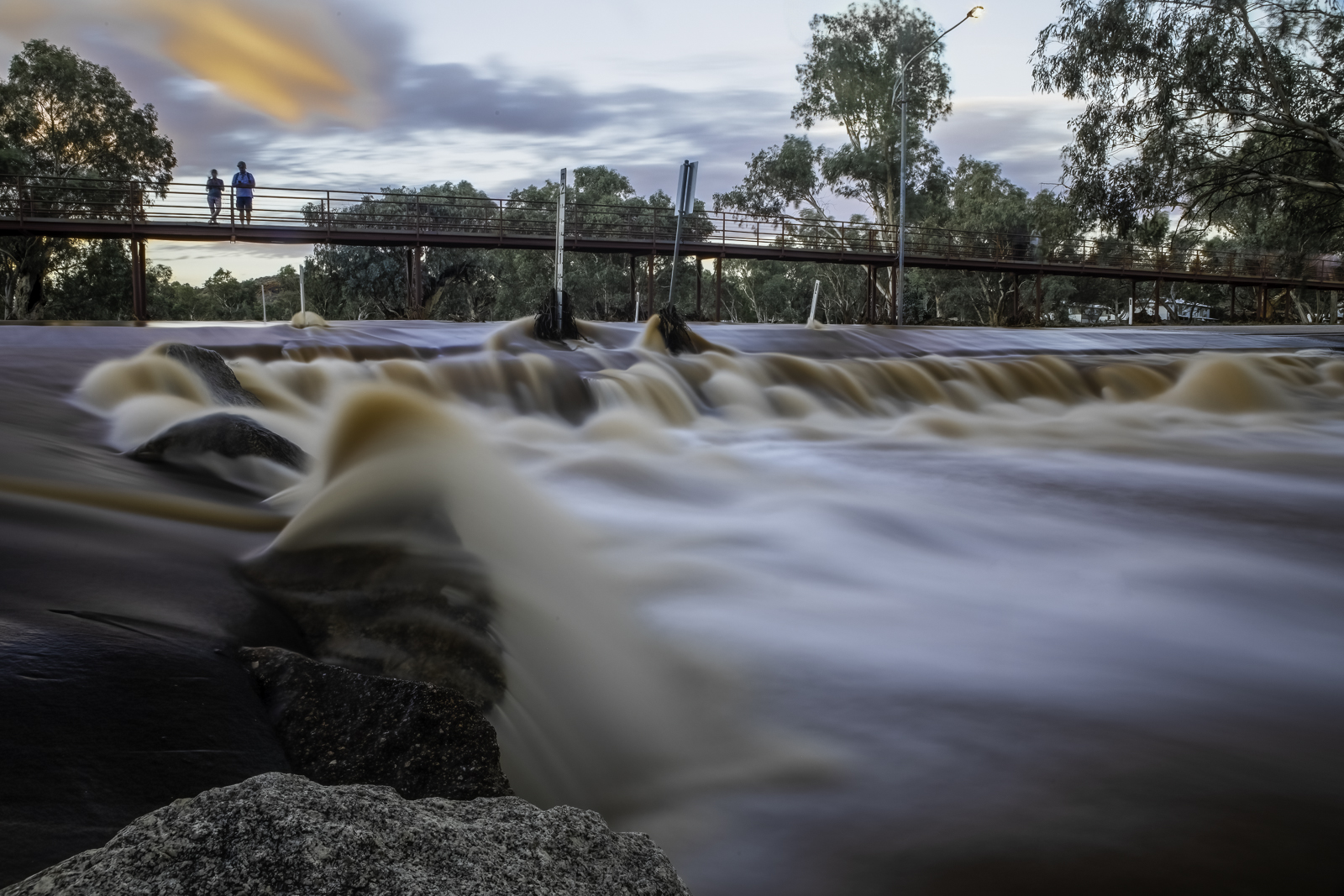
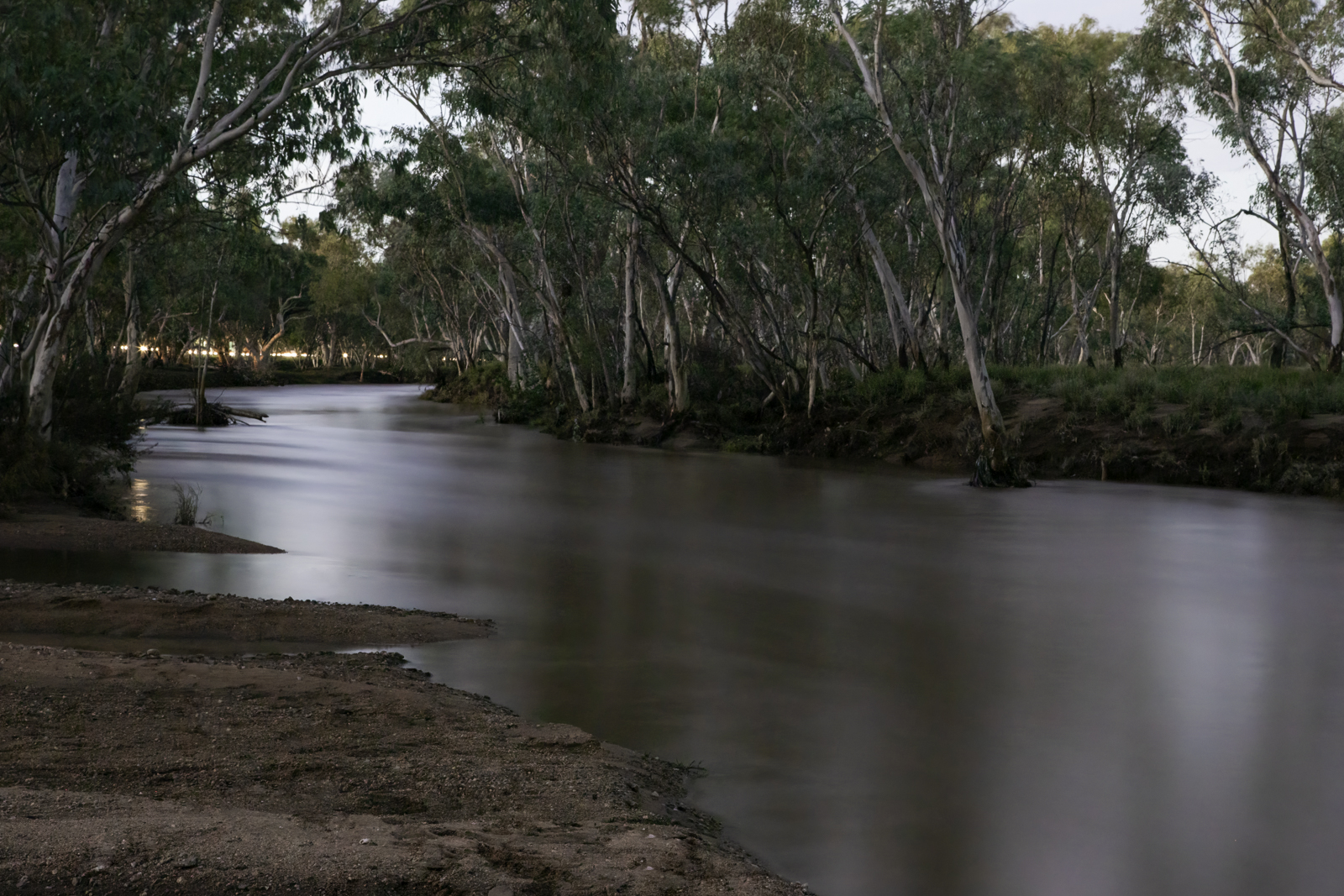
The weekend away was full of fun and excitement in such amazing scenery that I cannot comprehend.
The strangest part of the weekend is that we are in a drought, and the lakes and the dams which we visited are amazingly low. While in North Queensland around Townsville they have had over a metre of rain in the last five days.
Here is a photo took at
As you can see the dam is really green, the water levels are extremely low and the fact that is green means that the water levels have been so low for such a long time the vegetation has grown says a lot.
I have a heap of photos which I want to share and will I guess I’ll have to space out over a few days so I
Hope you enjoy them and let me know what you think.

Since the weekend is upon us it is time for people to go to the party and have some fun, for me is also time to party except I generally party with my camera in hand while I capture the fun and excitement of the events that are part of being an event photographer.
To celebrate the end of the week and the start of the working weekend I snuck out to capture a few quick photos of the sunset as the colors in the sky were just amazing!!
So put on your dancing shoes and get ready for the wild weekend and maybe, just maybe you might see my face through my lens at an event near you. 🙂